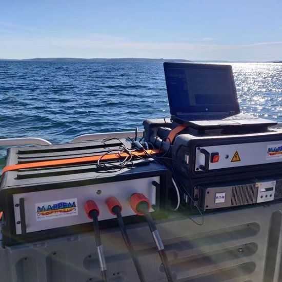
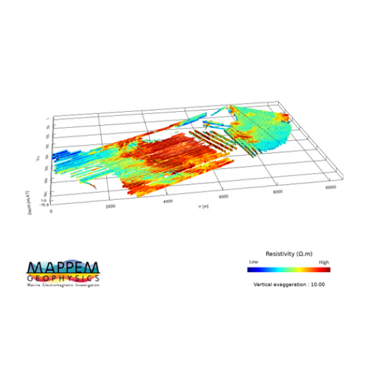
Your are interested by: MAPPEM GEOPHYSICS, R&D in Marine Electromagnetism

Fields marked with an asterisk (*) are required.
/
/
R&D in Marine Electromagnetism

R&D in Marine Electromagnetism

The geophysicists and engineers of MAPPEM Geophysics combine a vast experience in the conception and development of unique marine instruments, from deep ocean stations to shallow water towed or seafloor systems.

In parallel, intensive research is also carried out on the development of numerical codes to solve the mathematical equations expressing the electromagnetism associated with the MAPPEM systems, in order to improve data processing (direct calculation and inversion) and to optimize the geometry of the MAPPEM set-ups.

As experts in electromagnetic measurements, the MAPPEM Geophysics team develops state-of-the-art instruments for a wide range of purposes, from instrumentation for geophysical applications to passive or active electromagnetic devices and systems.

Applications

  • Environmental studies (electromagnetic signatures of anthropic infrastructures and cathodic protection studies)
  • Defense applications (harbor protection, signatures management, object detection and characterization, etc.)
  • Geophysical imaging and quantitative geophysics.
  • Other non disclosed subjects.

Keywords

  • Electromagnetic Measurements
  • Environmental Studies
  • Cathodic Protection Studies
  • State-of-the-art Instrumentation
  • Geophysical Imaging

About

MAPPEM GEOPHYSICS

At MAPPEM Geophysics, our vision is to be the pioneering force in marine electromagnetics, revolutionising geophysical imaging, object detection, and environmental assessment. Our independent spirit fuels innovation, driving us to develop state-of-the-art systems that provide accurate and reliable electromagnetic and resistivity data to redefine what’s possible in marine site investigations, empowering clients to make informed decisions.

Discover more about MAPPEM GEOPHYSICS

Related products and services